Bringing Open Data Integration to the (Sweco) People
In Denmark, we have over 1500 different open data layers. This data is within the environment, planning, ground maps, height data and the building area. The many data come from different data sources, and it is not easy to get an overview of where which data is available and where.
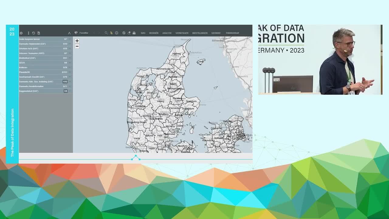
Sweco has a WebGIS system (Spatial suite) where all this much open data is easily accessible to users. Our colleagues use a lot of different data in their work with customer projects, this is from our architects to our engineers. They work in many different programs, such as Autocad, Revit, Microstation and Qgis and in different coordinate systems. This is where FME comes to the rescue. We have built an integration between Spatial Suite and FME, where the colleagues choose the data they need for their project, as well as the output format and coordinate system. FME Server retrieves the requested data and send it to them. This was only the beginning, the people wanted more, they wanted more solutions that could make their work easier. Therefore, we have developed a large number of different FME server Apps to solve some of their needs. We will show various examples of these.
Presentation Details
Presenters:
Mik Wulff Thomsen
Presenter Company:
Sweco
Event:
The Peak of Data Integration 2023
Industry: