
Airports & Aviation
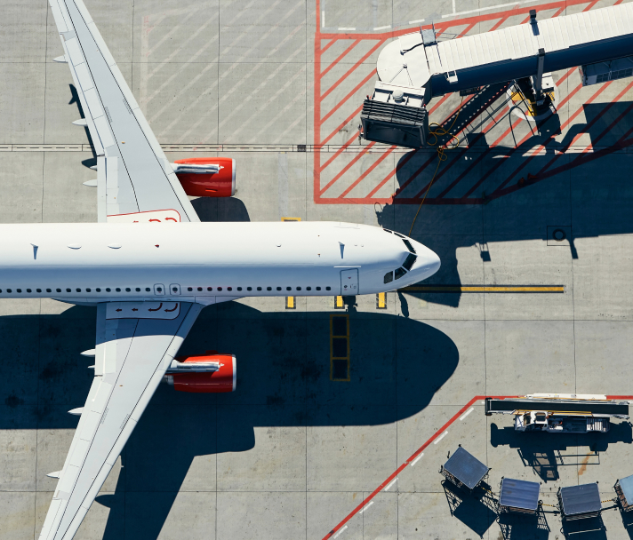
Improved operations and passenger experiences are waiting.

Integrated Asset Management
Integrate asset management with business systems, maintenance and operations to create a more seamless work experience.
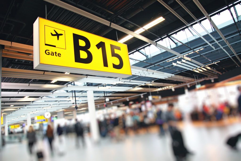
Indoor Mapping and NavigationSupport
Power indoor mapping applications such as Apple Maps and HERE so passengers can easily navigate your space.
Airspace and Passenger Analysis
Manage airspace, ground traffic and passenger movement with comprehensive spatial analysis and AIXM support.
Facilities Management and Digital Twins
Manage your facilities holistically and build true digital twins of your operation with BIM, CAD, GIS, sensors, stream data and more.
Pricing that makes sense. Because why would it be any other way?

Our Approach
Simplify your licensing with a subscription that covers all of your FME Desktop and FME Server licenses.
Simple Pricing
Invest in your success, simply.
Tailored Industry Options
When it comes to data, one size never fits all.
Unrestricted FME Access
Unlimited access to the FME Platform means you can get up and running without delay.
See where FME is already bringing life to data.
Amsterdam Airport Schiphol uses data integration to build the foundation for a digital twin
Amsterdam Airport Schiphol integrates asset and infrastructure data into a unified GIS database.
Read the Full Story
Victoria International Airport powers indoor mapping with FME
As an award-winning airport in North America, YYJ wanted to take their passenger experience to the next level by enabling indoor mapping via Apple Maps.
Read the Full StoryA few common questions about how this works.
This subscription option allows your airport to use unlimited deployment of the FME Platform for an annual price. The amount paid is based solely on annual passenger volumes. Now all your departments can use FME at no extra cost, saving you money and speeding up projects as compared to one-off license purchases.
We define annual passenger volumes as the total number of enplanements in a calendar year. It can also be thought of as the total number of passengers who board planes in your airport in a particular year. The amount of cargo traffic is not taken into consideration. The amount you pay is based on the annual passenger volume for the previous calendar year.
At the next renewal date, you will renew at the then-applicable tier.
We have a separate subscription offering for local government. In cases where more than one subscription may apply, please contact us or your local partner.
Yes. We provide a prorated credit for the number of months remaining in your AMC total. This will go towards your Airports Subscription for the first year.
All your existing licenses will be rolled into this program and while your contract is in place you will not have to pay annual maintenance of those existing assets.
Extra-cost plugins are not included within this program and must be separately purchased and licensed.
FME licenses that are purchased individually have a perpetual term. This grants continuous use of your FME licenses, but in order to receive upgrades and support, you will have to purchase annual maintenance. FME licenses used under this program will timeout at the end of the current term unless you renew. You will have full access to support and upgrades at no additional cost during the term.