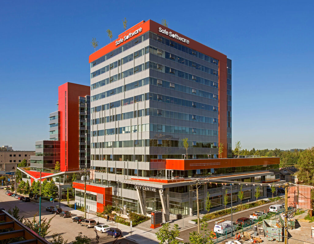
We help organizations do more with their data. A lot more.
Data is everywhere. You can’t escape it, but why escape it when you can harness it to make your life better.

What we build
When you connect your data, you connect the dots.
From databases to real-time to business systems, we connect it all. Put your data—and your time—to better use. We offer unrivalled support for spatial data, and that’s just the beginning.
What’s New?What’s New?What’s New?What’s New?What’s New?What’s New?What’s New?What’s New?What’s New?What’s New? What’s New?What’s New?What’s New?What’s New?What’s New?What’s New?What’s New?What’s New?What’s New?What’s New? What’s New?What’s New?What’s New?What’s New?What’s New?What’s New?What’s New?What’s New?What’s New?What’s New?
What’s New?What’s New?What’s New?What’s New?What’s New?What’s New?What’s New?What’s New?What’s New?What’s New? What’s New?What’s New?What’s New?What’s New?What’s New?What’s New?What’s New?What’s New?What’s New?What’s New? What’s New?What’s New?What’s New?What’s New?What’s New?What’s New?What’s New?What’s New?What’s New?What’s New?

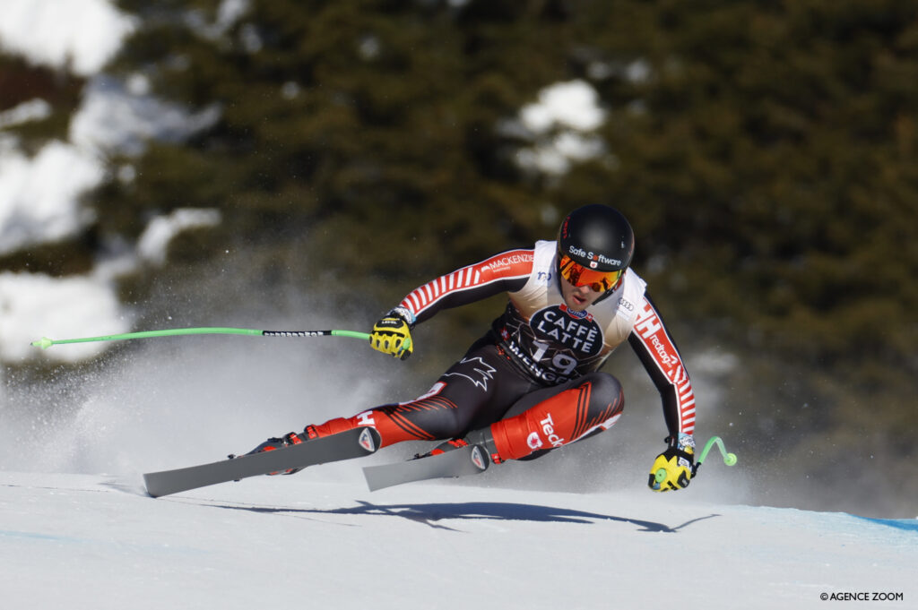
Safe Software Featured in Innovate Vancouver
At Safe Software, we believe that innovation is at the heart of progress and transformation. That’s why we’re thrilled to share our journey of innovation in celebration of our upcoming 30th year anniversary, as a featured story in Innovate Vancouver – a collection that spotlights visionaries, companies, products, and services leading the way in their respective industries.
Innovate Books serves as a testament to the remarkable achievements of those who dare to envision, disrupt, and redefine possibilities.
Find us on Page 216-217!
Innovate Books serves as a testament to the remarkable achievements of those who dare to envision, disrupt, and redefine possibilities.
Find us on Page 216-217!
What’s happening now at Safe
Company Updates
Company Updates

Benefit Impact Report 2023
Read More
Awards

Safe Software Ranked One of BC’s Top 100 Fastest-Growing Companies by BIV
Read More
Company Updates
Customers’ Choice in Data Integration
Safe Software has been named a Customers’ Choice in the January 2023 Gartner® Peer Insights™ ‘Voice of the Customer’: Data Integration Tools. We are also the only vendor recognized as North America Customers’ Choice!
Read More

#LifeAtSafe
Innovation thrives here, and so can you.
Safe Software is on a mission to bring life to data through technology used by over 25,000 organizations, over 200,000 users worldwide. We’re always on the lookout for people who can take us, and themselves, to new heights. Plus, we think we’re pretty fun to be around.

A few things we believe.
Humans First
In a data-driven world, we remind ourselves that we work for and with humans, so human needs always come first.Go Beyond
Impossible isn’t part of our vocabulary. We push ourselves to go beyond the boundaries of the norm and what’s possible.Say it. Do it.
We are accountable for what we set out to achieve. Accountable to ourselves, our colleagues, our customers, and our community.Act with Integrity
We are honest and forthright in whatever we do, doing what’s best not just for us, but for everyone. Even when no one is watching.Have fun
Life is too short to have a boring, mundane workday. So, we make sure ours has a healthy dose of camaraderie and fun.Connecting to our communities.
Safe Software is more than a company – it’s a collection of connected communities. Putting people first is the best way to make a positive impact on all of the communities we’re a part of.