We help organizations do more with their data. A lot more.
Data powers the world, AI drives it further. FME is the only All-Data, Any-AI Platform that helps you take control of your data and make it work for you.

What We Build
When you connect your data, you connect the dots.
From databases to real-time to business systems, we connect it all. Put your data – and your time – to better use. We offer unrivaled support for spatial data, and that’s just the beginning.
On-Demand SessionsOn-Demand SessionsOn-Demand SessionsOn-Demand SessionsOn-Demand SessionsOn-Demand Sessions On-Demand SessionsOn-Demand SessionsOn-Demand SessionsOn-Demand SessionsOn-Demand SessionsOn-Demand Sessions On-Demand SessionsOn-Demand SessionsOn-Demand SessionsOn-Demand SessionsOn-Demand SessionsOn-Demand Sessions
On-Demand SessionsOn-Demand SessionsOn-Demand SessionsOn-Demand SessionsOn-Demand SessionsOn-Demand Sessions On-Demand SessionsOn-Demand SessionsOn-Demand SessionsOn-Demand SessionsOn-Demand SessionsOn-Demand Sessions On-Demand SessionsOn-Demand SessionsOn-Demand SessionsOn-Demand SessionsOn-Demand SessionsOn-Demand Sessions
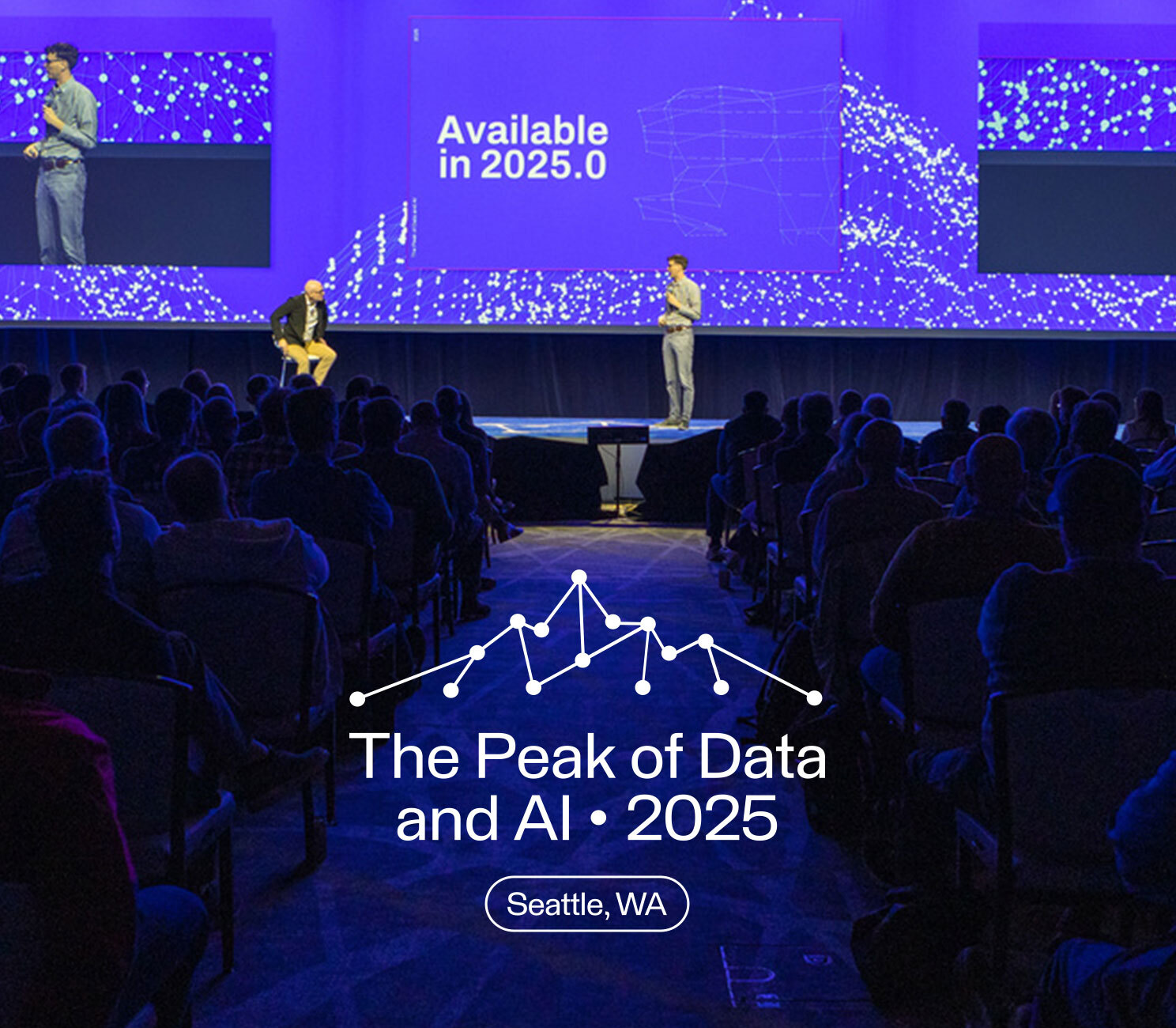
Featured sessions from the Peak 2025 are available now!
Dive into sessions from this year’s Peak, where we reimagined what’s possible with data and AI. From product demos and expert-led deep dives to plenary talks from Safe Software leadership and guest speakers, see how FME is solving today’s biggest data challenges.
What’s happening now at Safe.
Press Releases
Press Releases

Safe Software expands international footprint with operations in the UK and Ireland
Read More
Press Releases
Safe Software unveils FME Realize: Making spatial computing real, live, and actionable
Read More
Press Releases
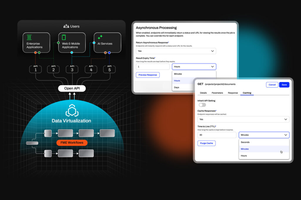
Data Virtualization, reimagined: Now native to the FME Platform
Read More
Press Releases
Safe Software celebrates Partner of Excellence Award winners
Read More
Awards
Safe Software named one of Canada’s Top Small & Medium Employers for 2025!
Read More
Press Releases
Safe Software announces FME Multi-Language Availability
Read More
#LifeAtSafe
Innovation thrives here, and so can you.
Safe Software is on a mission to bring life to data through technology used by over 25,000 organizations, over 200,000 users worldwide. We’re always on the lookout for people who can take us, and themselves, to new heights. Plus, we think we’re pretty fun to be around.

A few things we believe.
Humans First
In a data-driven world, we remind ourselves that we work for and with humans, so human needs always come first.Go Beyond
Impossible isn’t part of our vocabulary. We push ourselves to go beyond the boundaries of the norm and what’s possible.Say it. Do it.
We are accountable for what we set out to achieve. Accountable to ourselves, our colleagues, our customers, and our community.Act with Integrity
We are honest and forthright in whatever we do, doing what’s best not just for us, but for everyone. Even when no one is watching.Have Fun
Life is too short to have a boring, mundane workday. So, we make sure ours has a healthy dose of camaraderie and fun.Connecting to our communities.
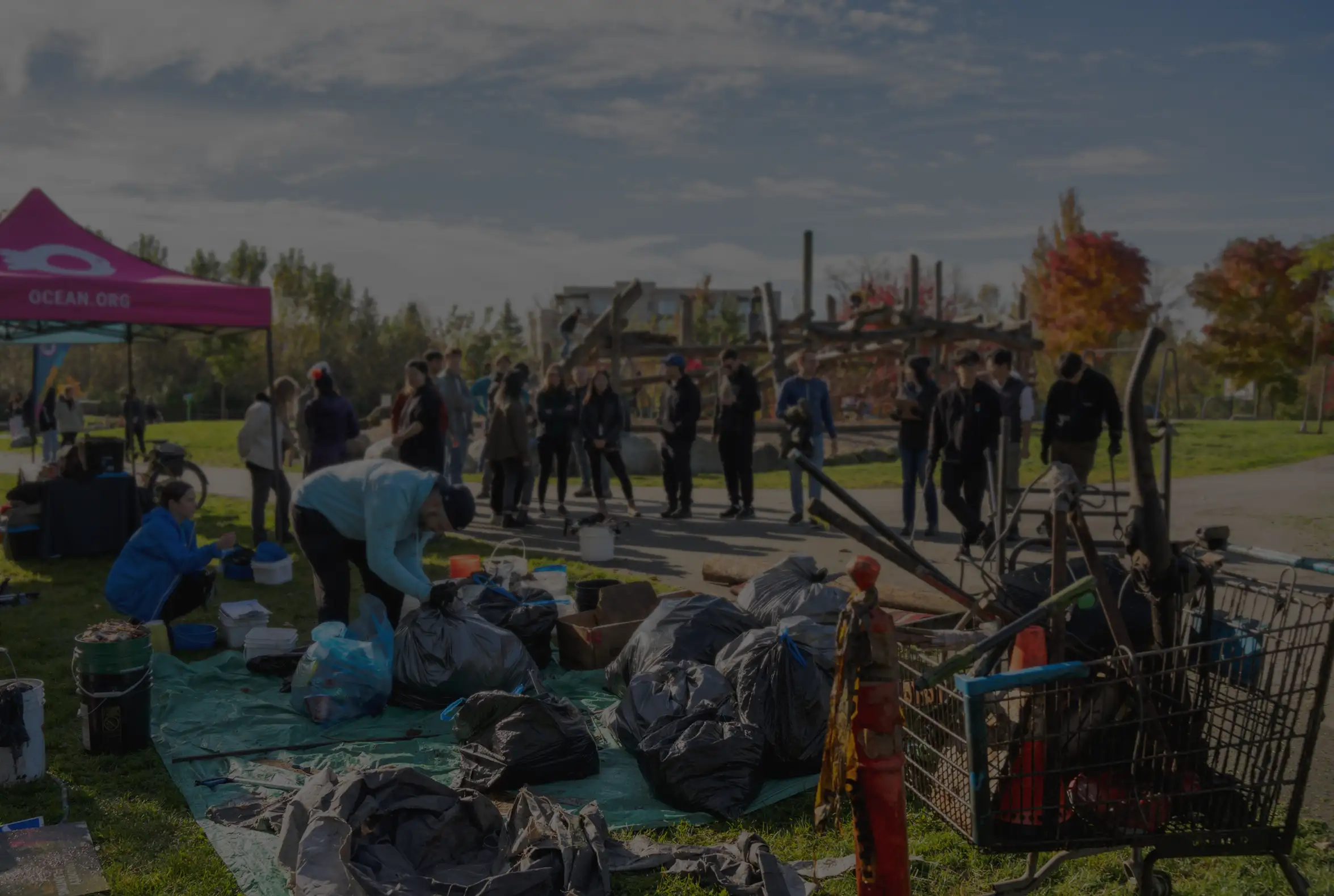
Safe Software is more than a company – it’s a collection of connected communities. As a certified B Corp, we’re committed to creating a positive impact for people, data, and the planet.