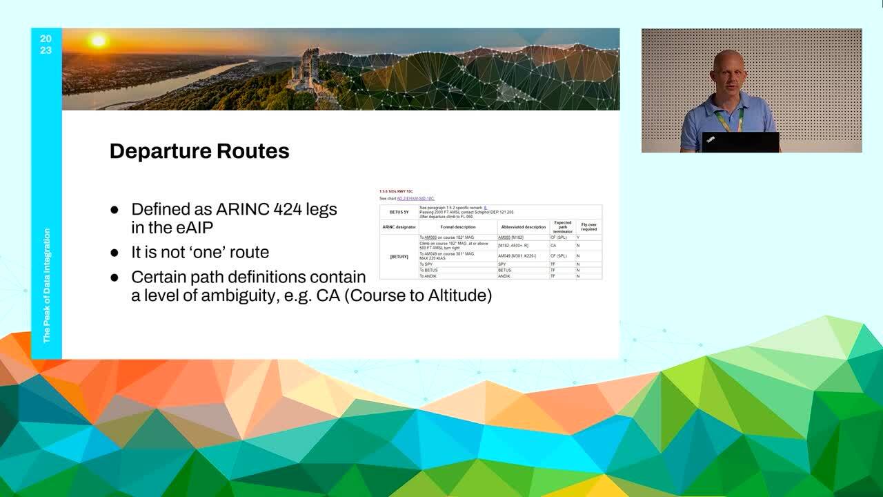
Working with AIXM5.1 Geometry
One of the applications from FME is in the aviation industry, where it can be used to build airspace geometry from AIXM (Aeronautical Information Exchange Model) files. AIXM 5.1 is an XML-based format that contains aeronautical data, including airspace boundaries, navigation aids, routes, and other features. At Air Traffic Control the Netherlands, FME is being used to extract the relevant data from an AIXM 5.1 file and transform it into a format that can be used for building airspace geometry. The complex data may contain geodesic lines, references to country borders or to other airspaces. Sometimes issues arise when airspace areas are not closed or have intersecting lines, leading to invalid geometry.
With the right Transformers, we can create valid airspace geometry. Once the AIXM data has been transformed, it can be loaded into a geographic information system (GIS) for visualization and analysis. The resulting airspace geometry can be used for a variety of information products. In conclusion, FME is an effective and efficient tool for building airspace geometry from AIXM 5.1 files. Its ability to handle large and complex datasets, along with its support for a wide range of data formats, makes it a valuable asset for the aviation industry.
Presentation Details
Presenters:
Matthieu Vrakking
Presenter Company:
Air Traffic Control the Netherlands
Event:
The Peak of Data Integration 2023
Industry:
Transportation