FME Transformer Gallery
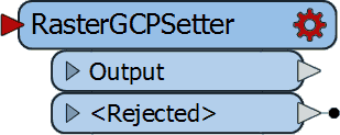
RasterGCPSetter
Sets the Ground Control Points (GCP) on a raster with the specified Column (pixel), Row (line), X Coordinate, Y Coordinate and Z Coordinate.
People Who Used This Transformer Also Used - See All Transformers
Related Resources
Automatic Georeferencing with FME - FME Community
Automatic Georeferencing with FME. ... I've tried using RasterGCPSetter, but the output tif doesn't function as though it's projected (either in QGIS, ...
re-Georeference ECW - FME Community
re-Georeference ECW. Hi! ... I also tried manually setting the corners with RasterGCPSetter without any success, it stays at the pixel-coordinates.
rastergeoreferencer - FME Community
Error using RasterGeoreferencer on JPG with point and angle from CSV. Jun 12, '17 in *FME Desktop. 3 Answers. 0 Likes. 181 Views. Refine Your Search. Of types ...
Use the RasterGCPSetter in FME
Download our fully-functional FME Desktop trial, free for 30 days. No credit card necessary. Start integrating!