Latest Posts in LIDAR

Tiana Warner
September 15, 2021 • 12 min

How to use data integration workflows for point cloud processing and analysis, including generating 3D models, extracting areas of interest, applying calculations, and more.

Tiana Warner
July 10, 2015 • 5 min

I think we can all agree that 3D is quickly becoming a dominant data type. Drones and LiDAR scanners are widespread. 3D cameras and printing are all the rage at tech fairs these d...

Tiana Warner
February 17, 2015 • 6 min

At any given time during the year, we have around seven to ten co-op students on our team here at Safe. Part of the co-op requirement is that the students complete a report on some...

Tiana Warner
November 21, 2014 • 4 min

If you tuned into the 75th Hunger Games, you’re aware that The Capitol required extremely precise knowledge about the arena landscape. At any given moment, they needed to kno...

Tiana Warner
April 9, 2014 • 10 min

Data integration means combining information from various sources into something useful. A data integration plan efficiently manages data and makes it available to those who need i...

Tiana Warner
October 1, 2013 • 10 min

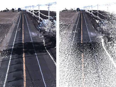
LiDAR technology has given the spatial data world some of the largest data volumes we’ve ever seen. Many point clouds I’ve worked with in FME have been tens of gigabytes in siz...
Showing of 26 posts