Latest Posts in GPS

Dmitri Bagh
January 23, 2019 • 8 min

FME 2019 can recognize objects in images, thanks to a new set of computer vision transformers. Here’s how you can train FME to recognize custom objects in large volumes of incomi...

Tiana Warner
November 10, 2017 • 1 min

Indoor mapping is being adopted by venues around the world, including airports, malls, universities, and museums. Not only does this help the public navigate large venues, but it a...

Erin Lemky
October 10, 2013 • 6 min

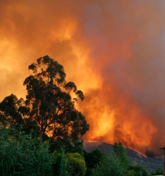
It’s not every day that a GIS Officer fights bushfires. But Barrett Higman has all too much experience. A necessary part of the Australian ecology, bushfires are the only way in ...

Mark Ireland
February 17, 2013 • 14 min

Ideas for FME Server By Mark Ireland Hello FME’ers, As I promised – in my State of the Server address – here’s an article on ideas for FME Server. When I wa...

Mark Ireland
April 27, 2012 • 20 min

This post is a live-blog record of the FME World Tour 2012 event in Vancouver, which occurred on April 27th 2012. Presenters from Safe are Don Murray, Dale Lutz, Stewart Harper, Mi...

Mark Ireland
July 19, 2011 • 11 min

I've been getting interested recently in QR codes - having seen them becoming more prominent in daily life - and wondered if there were any useful applications for them using FME. ...

Mark Ireland
October 4, 2010 • 8 min

The fact FME now has an OpenStreetMap Writer in FME2011 is likely to either excite you greatly or make you shrug your shoulders and say "meh". What you meh-sayers need is a good...

Mark Ireland
August 23, 2010 • 6 min

This post explores a suggestion from an FME training course attendee on how to track assets using a combination of iPhone, Twitter, and GeoRSS. It's simple and quite practical for ...
Showing of 10 posts