Latest Posts in geospatial data

Nicole Lee
November 18, 2021 • 5 min

Online mapping is important and provides us with the ability to visualize geospatial data on the internet. What is it? Why is it important? How can we use online mapping with FME?

Nicole Lee
November 1, 2021 • 6 min

No matter what your interests are or what field you work in, spatial data is always being considered whether you know it or not.

Tiana Warner
September 16, 2021 • 6 min

If you work with spatial data, you have a lot of untapped insight available through metadata. Here’s how to implement an Active Metadata platform using FME.

Tiana Warner
December 3, 2018 • 10 min

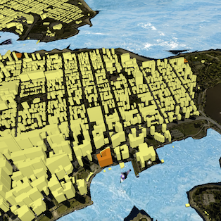
By creating a web map or 3D scene using a web visualization library, you can share your geospatial data with anyone using a URL. Here are a few available tools and a step-by-step g...

Tiana Warner
November 6, 2017 • 1 min

Imagine being able to train your GIS to perceive and understand the world, and give you insights based on your data. Today, geospatial experts are using machine learning for: Analy...
Showing of 9 posts