Latest Posts in DEM

Mark Ireland
April 8, 2021 • 12 min

Spatial is special for a couple of reasons; one being that it's a field that generates a huge amount of terminology and acronyms! I'm here to cover some of the most common acronyms...

Dmitri Bagh
August 13, 2018 • 6 min

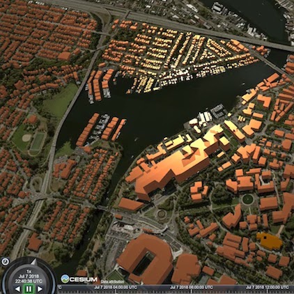
With CesiumJS, you can create a web visualization to display your geospatial data in a browser—making it easy to share your data with anyone, anywhere. Here are the steps I took ...

Tiana Warner
August 28, 2017 • 4 min

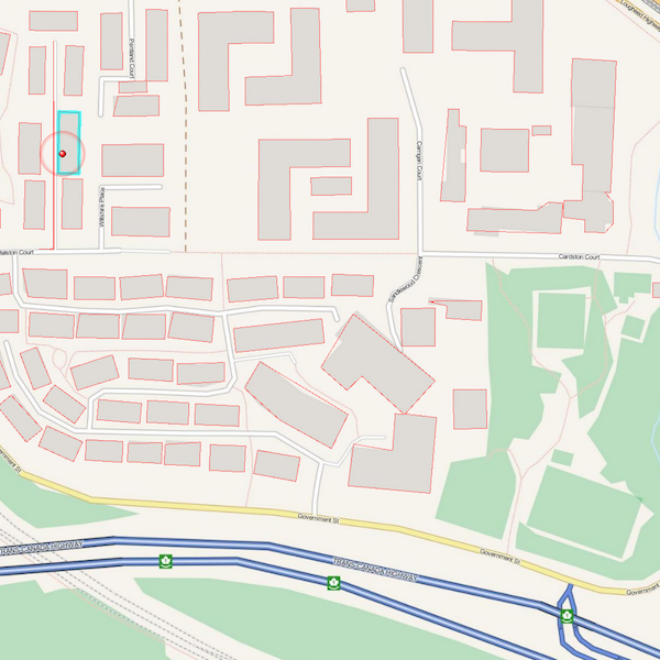
Extracting vector features from an image (or “vectorizing a raster”) involves converting groups of raster pixels into polygons. This is a common scenario for GIS and CA...

Kris Majury
August 12, 2015 • 4 min

Students in Niagara College’s GIS – Geospatial Management program have a great opportunity – to work on a year-long thesis project, collaborating with real employers to d...

Mark Ireland
December 22, 2011 • 9 min

If you've installed FME2012, or listen in to the @FMEEvangelist on Twitter, you'll be aware that some transformers in 2012 have a new option: one to run the transformation as multi...

Mark Ireland
June 10, 2011 • 4 min

Another short post - this time inspired by a question on the GIS StackExchange group. Can FME calculate the total ascent on a single line feature when individual sections of lin...
Showing of 11 posts