2010 was a great year for geo. Consumer geo apps like Fourquare and Gowalla took off, while us professional geonerds got some cool new tools too. While making predictions can be a dangerous game, I thought I would share a few of my personal predictions on my favourite topics for geo as we enter 2011. Be sure to let me know if you agree or disagree with me in the comments.
1. “Open” Marches Ahead
 With MapQuest releasing an OSM powered site for the United States and Microsoft bringing OSM creator Steve Coast on board, OpenStreetMap is sure to have a big year. They still face some hurdles with the road network in North America not being as complete as parts of Europe, but hopefully the support of aol (MapQuest’s parent company) and Microsoft will help push the map forward. In addition to OpenStreetMap, FOSS4G will
  be returning to the US this year. The backing of GITA will surely bring some new faces who are interested in seeing what this whole open source thing is all about. Paired with the 2011 State of the Map conference in the same city, Denver is going to be the place to be this year. Based on the preview that was WhereCamp5280, it is going to be a great time.
2. Crowdsourced Data Gains More Acceptance
Crowdsourced data is going to gain much more acceptance. Google’s home-rolled map data, while not open data, is crowdsourced. When Google’s Canada  map data switched this year, I reported several errors in my neighbourhood which were quickly fixed. I use Google’s data for finding directions with Google Maps, and I have a feeling many who pan crowdsourcing for being “unauthoratiative” do as well without even knowing that crowdsourced data is being used behind the scenes. Even traditional GPS navigation companies like TomTom are introducing crowdsourced elements to their smartphone apps.
3. Google Expands Geo Offerings
 Google adding spatial data support to Fusion Tables was arguably one of the most important new releases of 2010, but could just be the tip of the iceberg. With Fusion Tables becoming spatial, Google is enabling users to do some very powerful GIS tasks on their platform. It is not going to replace traditional GIS tools for most professionals, but it is certainly the easiest way to get data into Google Maps – and simple analysis is possible. It is not too much of a stretch to think that Google will continue to refine it into something that can replace a traditional GIS for some people.
4. Apple Enters the Mapping/LBS Space
 Frankly I’m surprised this has not already happened, as maps are pretty much the only part of iOS that are powered by Google, or anyone other than Apple for matter. Recent job postings are just the latest evidence for this, along with the recent purchases of two geocompanies. What I think will be most interesting about this is who they pick as a data provider. Based on Apple’s history of taking open source tools and making well designed user experiences for them, I think Open Street Map would be a good fit, but only time will tell.
5. Real-Time Data Becomes More Common
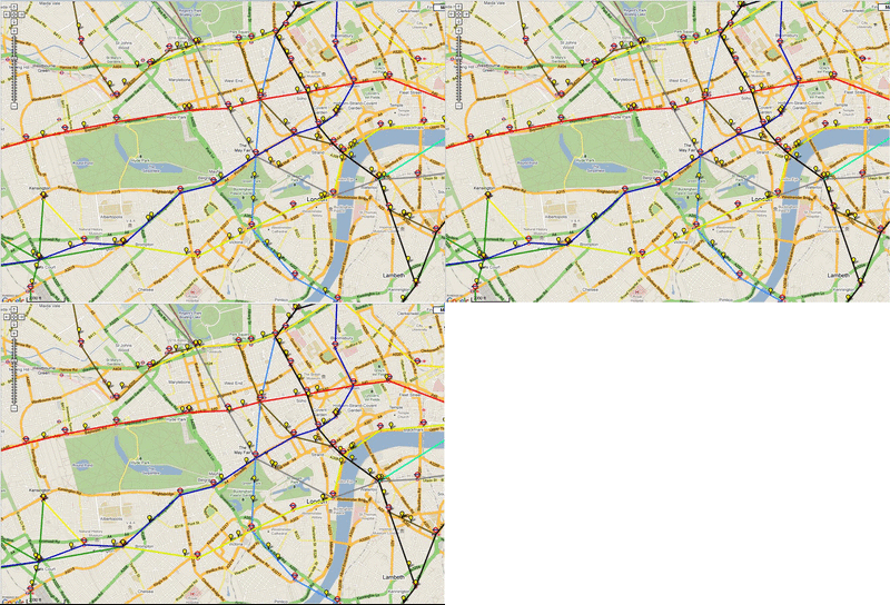
Real-time data was the theme of this year’s GeoWeb conference (although I didn’t see too many talks specifically covering it). There are a handful of services now offering real-time data APIs. Twitter’s API for example is the “hello world” of real-time applications. Unfortunately despite the massive volume of data that comes through Twitter’s real-time API, very little of it is geocoded. The other place we are already seeing real-time spatial data is public transit agencies. Cities like San Francisco, Portland, and London are already offering real-time locations for vehicles which are being used to create some really interesting applications. With more web browsers and mobile platforms bringing support for WebSockets, real-time applications will become far more popular, both spatial and non-spatial.
What do you think?
Even if none of my predictions come true, I’m sure 2011 will be another great year for geo.
Got some predictions of your own? Put them in the comments.
Michael Weisman
