ContourGenerator
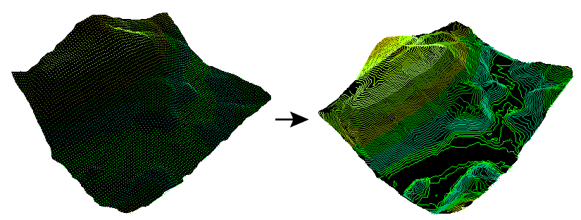
Contours are lines used to distinguish areas of equal measurement on both 2D and 3D models. They are most commonly used on topographic maps to indicate areas of equal elevation. This allows viewers to distinguish the steepness of slopes. Where lines are close together, the elevation is changing quickly and therefore the slope is higher. When lines are further apart, the elevation changes more gradually and the slope is less.
Contour lines are also commonly used in meteorology to represent areas of equal air pressure, temperature, rainfall, and wind.
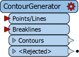
To create contours with FME, you can connect your data points containing x, y, and z coordinates to the ContourGenerator.
Learn more about how to create contours in FME with Community tutorials like Generate Contour Data from Points, Generate Contour Data from Raster, and Creating Time and Distance Isolines.
Similar Transformers
Learn More or Try FME For Free:
People Who Used This Transformer Also Used - See All Transformers
Use the ContourGenerator in FME
Download our fully-functional FME Form trial, free for 30 days. No credit card necessary. Start integrating!