From Event to Action: Accelerate Your Decision Making with Real-Time Automation
May 1st, 2024, 8:00 AM (PDT)
Cloud Frontiers: A Deep Dive into Serverless Spatial Data and FME
May 8th, 2024, 8:00 AM (PDT)
The Zero-ETL Approach: Enhancing Data Agility and Insight
May 14th, 2024, 8:00 AM (PDT)

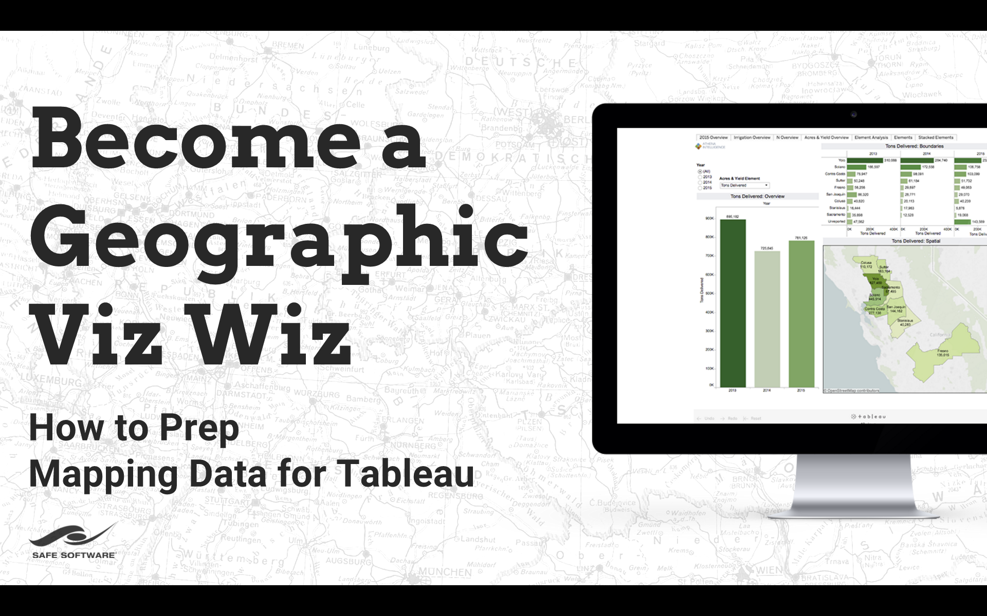
FME Powering Enterprise Dashboards
Hosted by Irish Mapping and GIS Solutions Ltd (IMGS)
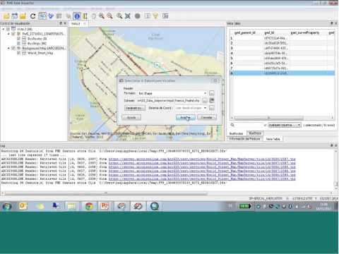
Working with the Asite Common Data Environment
Hosted by 1Spatial Group Limited
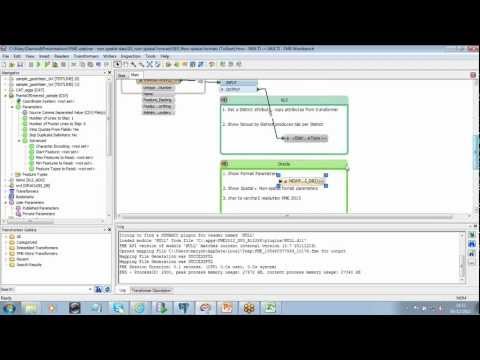
Essentials of Automations: Optimizing FME Workflows with Parameters
May 29th, 2024, 8:00 AM (PDT)
FME 2024 Unleashed - Transform Your Data World
Hosted by Irish Mapping and GIS Solutions Ltd (IMGS)
Microsoft Azure in FME - tips and tricks
Hosted by 1Spatial Group Limited